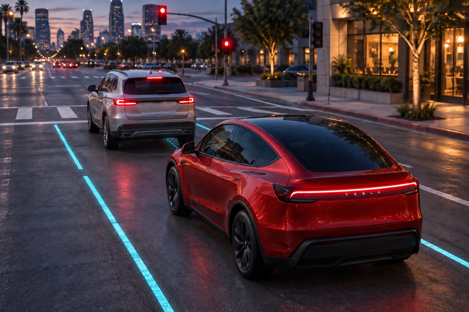
A long red light shouldn’t make a car forget where its lane goes. But a driving system that only keeps a short window of recent camera footage can lose useful road information while it’s stopped, especially if another vehicle blocks its view. Tesla’s proposed fix is to organize that memory around how far the car has traveled.
Tesla first described the core idea, a spatial memory, at its 2021 AI Day. A patent filing reviewed by Carmoses explains how the approach can keep lane markings and road edges in memory when something blocks the view or the car is stopped for a long time.
The filing doesn’t name a model. We used the Model Y for the renders because the passenger-car layout and intersection scenario suit it, and Tesla says its current FSD (Supervised) system uses cameras around the car to build a model of its surroundings. That doesn’t confirm this specific implementation.
Remembering Distance While Traffic Waits
The proposed system starts with images from cameras around the vehicle. Software extracts useful features, combines the different views and places that information into a virtual overhead view. This gives lane markings, curbs and crosswalks a shared position relative to the car.
A feature queue, effectively a stored sequence of processed observations, supplies the history. With distance-based indexing, useful details can remain available while the vehicle waits at a light. They do not have to disappear solely because the observation is getting older.
Once the car moves, its earlier observations need adjusting. Motion information shifts the stored features into alignment with the current position. Tesla gives an example involving an advance of roughly 66 feet. A previously detected road edge can then stay in the correct place in the reconstructed scene even when it is hidden from the latest camera view.
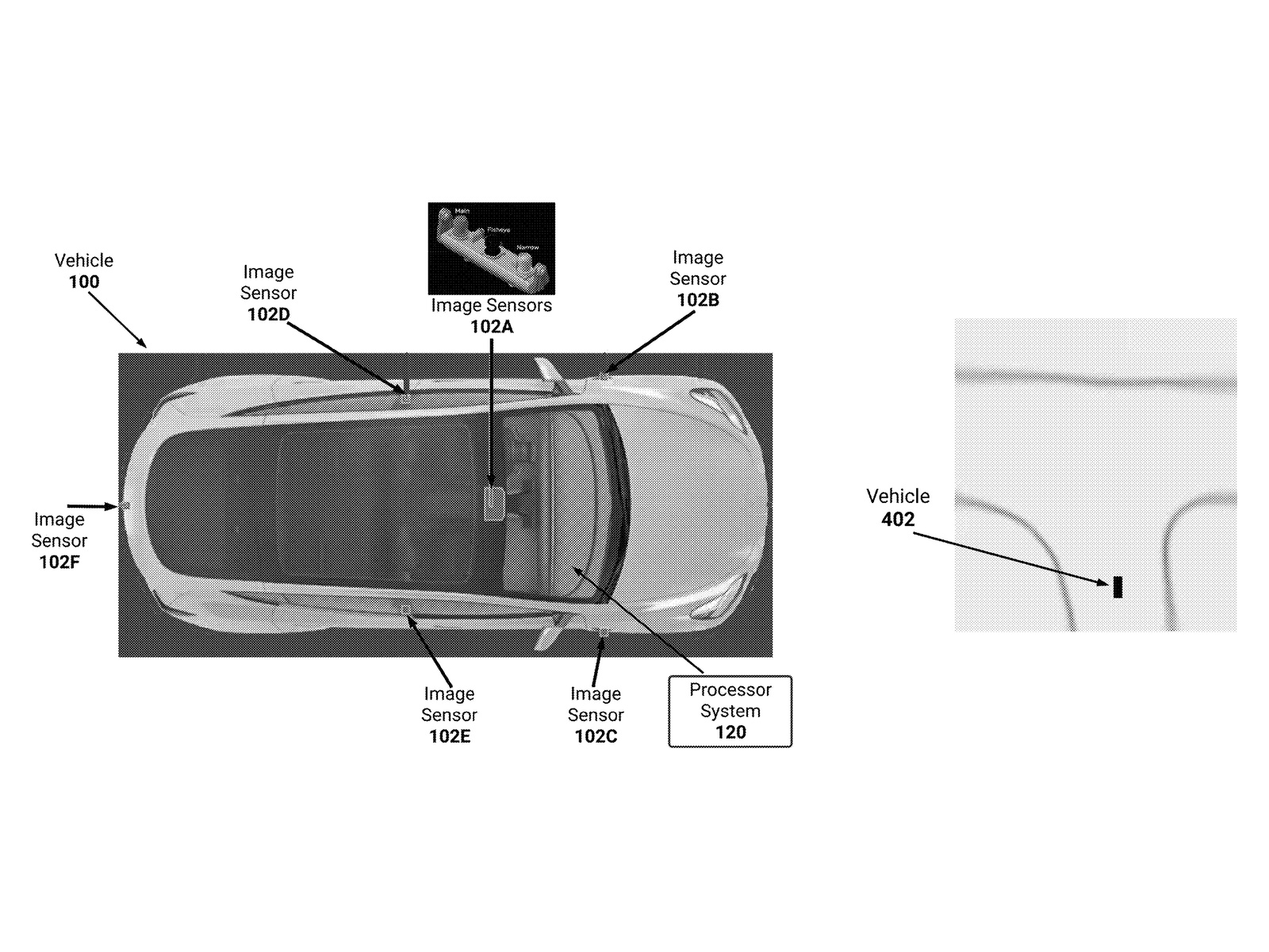
The update interval can also change with speed or location. Examples include adding observations after about eight inches, three feet or ten feet of movement, with shorter distances suggested for city streets than freeways. These are possible settings, not published specifications for a customer car.
That scheduling concerns additions to the stored history. It does not mean the cameras stop watching between updates. Nor does remembering a lane establish that the lane is clear of pedestrians or other vehicles. The focus here is the relatively stable road layout.
Finding The Curb Within The Grid
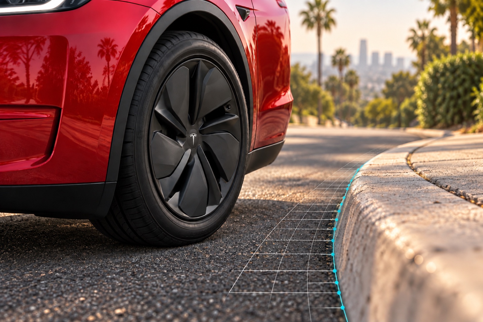
Remembering the scene only helps if the reconstructed geometry is useful. Tesla also describes refining a road edge within the individual pixels of its generated map. One example assigns each pixel an area roughly a foot square, which is coarse when the task involves positioning a car beside a curved curb.
Instead of treating a pixel’s center as the exact edge location, the model can predict a direction and an offset within that cell. Those additional values locate the boundary more finely than the underlying grid. Tesla connects that detail to parking and maintaining clearance, although it supplies no measured accuracy improvement.
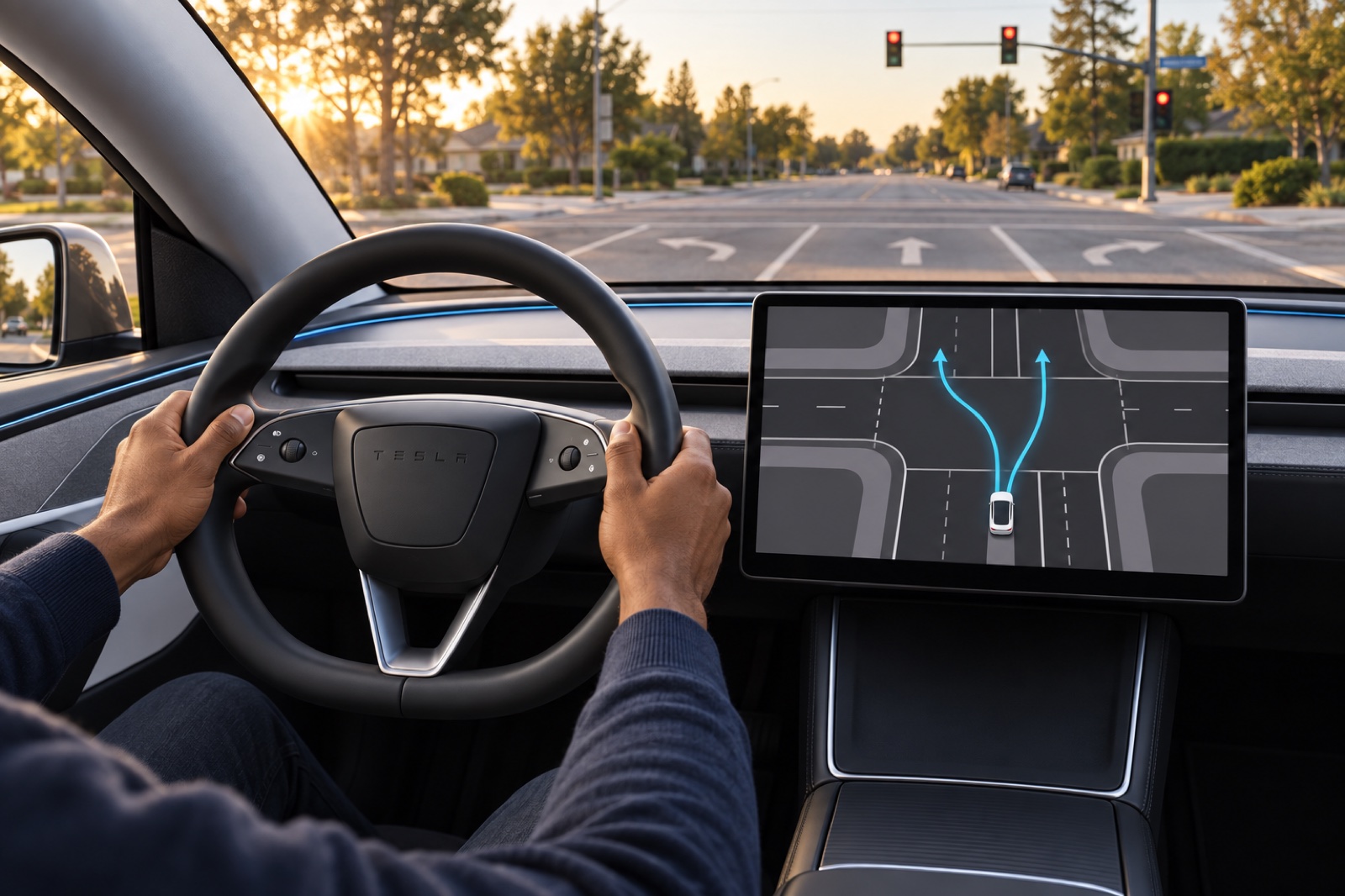
Intersections introduce another problem because a lane’s continuation may lack a continuous visible marking. The system can predict connections to receiving lanes using mathematical curves called splines. These can supplement the map when parts of the predicted connection disappear through obstruction.
The resulting information can feed a separate driving planner or appear on a display. Tesla also allows the visualization to remain available with automated driving switched off.
The Missing Evidence Is On The Road
Ford describes BlueCruise as hands-free highway assistance operating on prequalified divided highways. Tesla’s FSD (Supervised) also attempts city streets and intersections, where lane connections and interrupted sightlines become part of the task. Tesla still requires an attentive driver ready to take over.
Use of these memory rules in today’s FSD remains unconfirmed, and any reduction in driver interventions still needs supporting evidence. There are no comparative road-test results, confirmed software versions or release plans. A patent does not guarantee production.
Distance-based retention is a sensible way to preserve road geometry through a traffic stop. The unresolved test is how reliably that retained information can support the next maneuver. For drivers, evidence of fewer mistakes at obstructed intersections would matter far more than a more complete map on the screen.