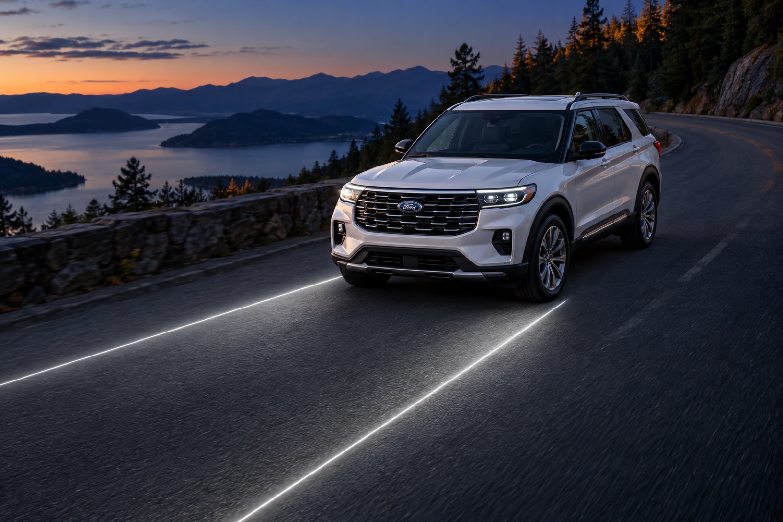
Ford’s proposed answer to disappearing lane markings could depend on drivers who passed through before you arrived. A laser guidance system would project lines onto the pavement when visibility deteriorates, with historical traffic paths among the information it could use to work out where the lanes belong.
Ford’s approach to guiding drivers through poor visibility appears in a patent filing discovered by Carmoses. Its distinctive feature is the proposed response to poor visibility, including ways to estimate boundaries the driver cannot readily distinguish.
Ford first demonstrated road-projecting headlights in 2022, including navigation prompts and vehicle-width guidance. The new proposal addresses where to aim those guides when the lane itself is hard to identify.
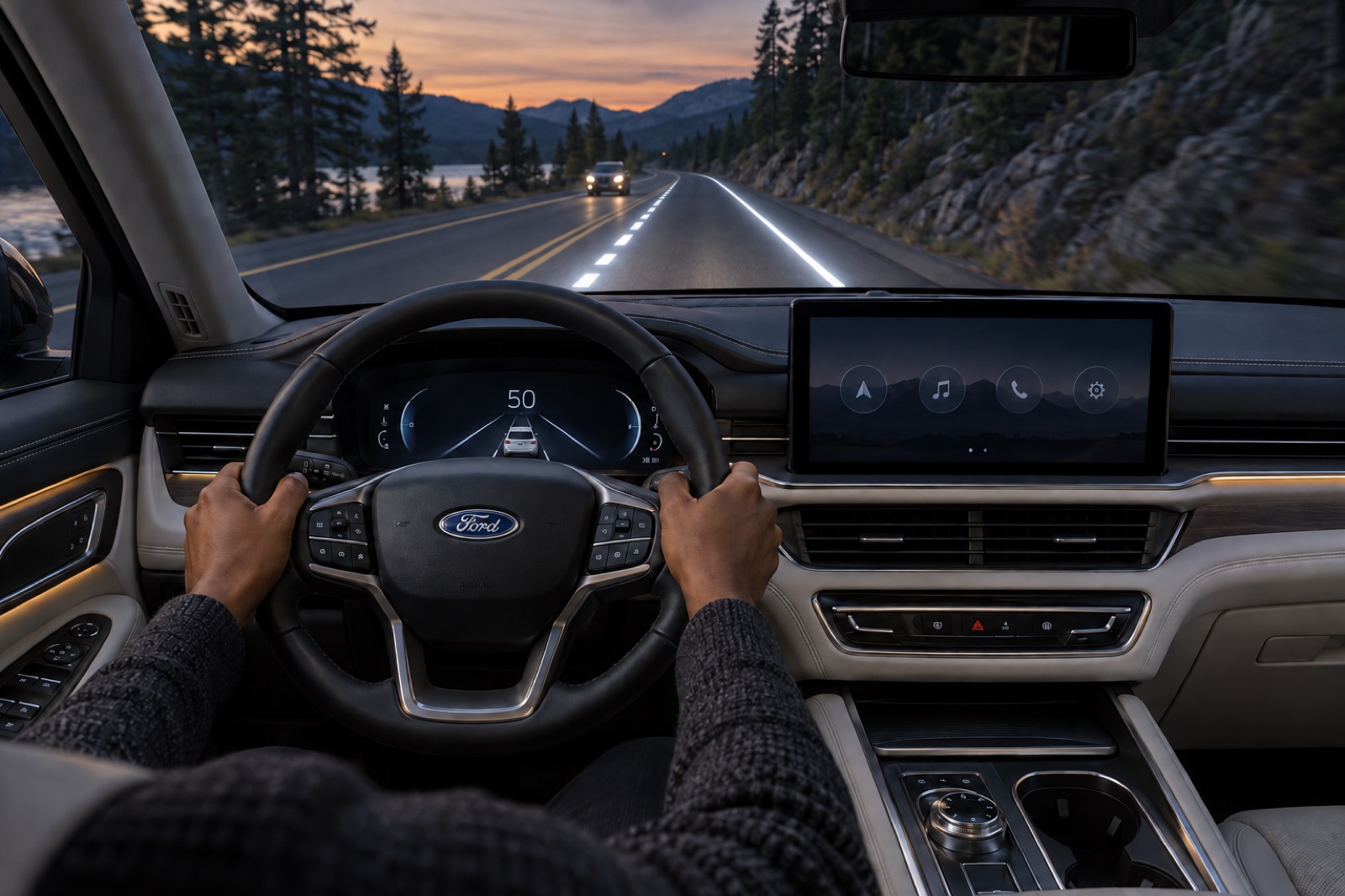
No model is named in the filing so we picked the Explorer Platinum for these renders because its adaptive headlamps and BlueCruise equipment make it a relevant US example of road-driving assistance.
Finding A Lane Without Seeing Its Paint
The sequence begins when a camera or fog sensor indicates that lane boundaries may be difficult for the driver to see. The driver could also request the display through the vehicle’s interface. The computer would determine the boundaries, select the guidance to display and activate the lasers.
Several approaches could supply the missing information. A thermal camera could look for road markings, while location data could retrieve mapped lane widths. Another proposed calculation uses thermal imagery to find the road’s edges, then divides its width by the number of lanes recorded in the map. Some versions could operate on sensor data without confirming the car’s location.
Historical traffic offers a different input. The computer could retrieve earlier vehicles’ travel paths for that location to help establish how many lanes exist and which direction each carries traffic. This would use recorded movements at the location, without requiring another connected car to be present.
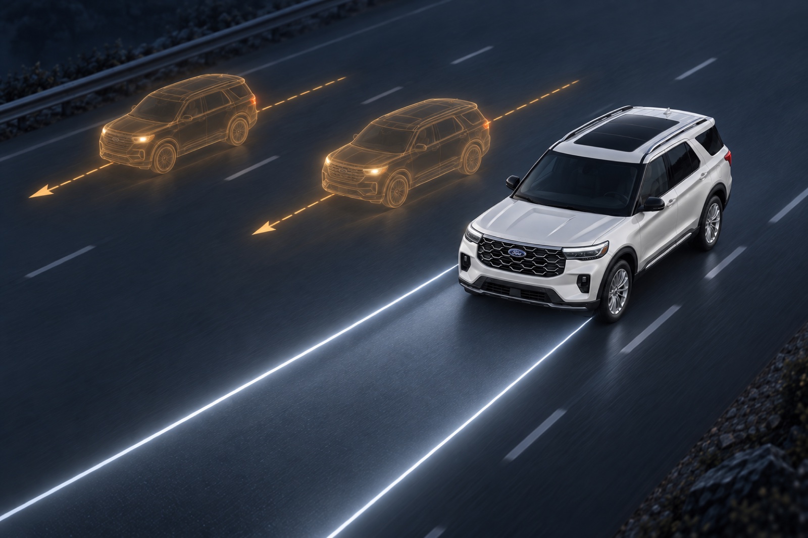
The resulting lines need not precisely retrace painted boundaries. Ford gives an example of a vehicle about 6.6 feet wide projecting guides roughly 9.8 feet apart, adding clearance around its body. Typical local lane widths or map information could limit that spacing. In that version, the display provides a corridor sized around the car rather than an exact reconstruction of the paint.
Different Patterns For Oncoming Traffic
Two parallel lines are only one possible display. Ford also describes a bar across the road ahead to indicate lane width, plus arrows for upcoming bends and symbols indicating objects or a recommended following distance. Drivers could configure combinations, such as adding curve arrows to the paired guides.
On a two-way road, the boundary beside opposing traffic could use a different pattern from the line on the other side. The distinction is in the pattern, with no particular color specified. Optional rear-facing lasers could extend guidance behind the vehicle, and projected light could be detectable from another car.
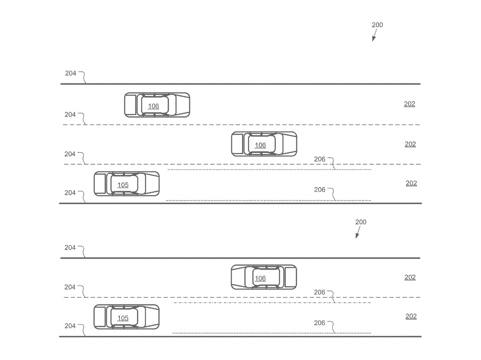
These are alternative features, not a requirement to display every symbol and boundary at once.
The Missing Test Is Accuracy
Ford described its earlier headlight experiment as testing in controlled environments. Audi has already offered Digital Matrix LED functions in Germany that illuminate a lane and indicate the car’s position within it. Road projection already has a place in production cars, while US availability for those functions and a production future for Ford’s lasers remain unconfirmed.
Ford’s specific proposal addresses the harder question of what to display when the boundaries themselves are difficult to discern. The filing supplies no measured accuracy, projection range or demonstrated visibility improvement. The projected light’s readability in the same poor conditions that obscured the lane paint remains an open question for the system. Nor does it explain how conflicting map and sensor information would be resolved.
Earlier traffic might help describe a road, but Ford provides no method for deciding whether those paths still represent its current layout. That is the crucial weakness in using them as a basis for visible guidance.
The proposal merits development because it tackles the information a driver loses when markings disappear. Ford needs to demonstrate that its estimates remain accurate in poor visibility before drivers are asked to rely on them.